Eutaw Springs Project
The Eutaw Springs Project aims to clarify various items related to the 1781 battlefield including erroneous mid-19th Century and later maps which have propagated errors in the roads and hydrography.
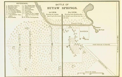
A prime exemplar of the error in battlefield mapping is the map reproduced by Carrington from McCrady 1902 or derivatives.
 |
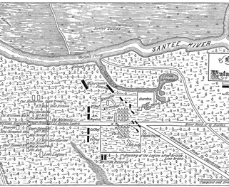 |
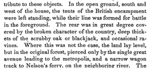
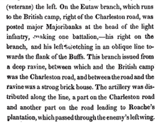
We know the representation of the "River Road or to Roches" is incorrect since from The Life of Nathaniel Greene edited by William Gilmore Simms in 1861 the only roads behind the British camp were the Great Road to Charleston by way of Monck's Corner and a wagon track to Nelson's Ferry (left) and Lee's description (right) concurs:
 |
 |
On the other hand, we know that there was a road referred to by the participants as the road to Ro(a)ches and that is the subject of this research study.
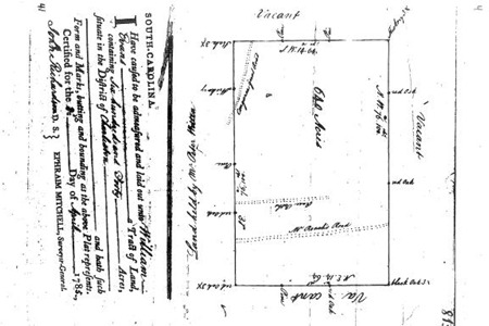
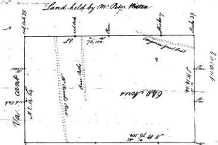
Historical sources at or as close to the actual time battle as well as plats, reminiscences, on-scene visits and maps have formed the basis of the investigation. The successes found so far are in great measure thanks to cooperative research done by Mr. Richard Watkins, especially in finding a plat showing Mr. Francis Roache's road near Eutaw Springs to the west of the battleground. While it is hoped that this plat will resolve the question, it must be remembered that plats are not easily georeferenced: Since they do not contain locations in any absolute coordinate system. The surveyor coordinates only define angles not location. The locations can only come from road or hydrological formations that can be identified on properly georeferenced maps.
< /> /> |
 " /> " /> |
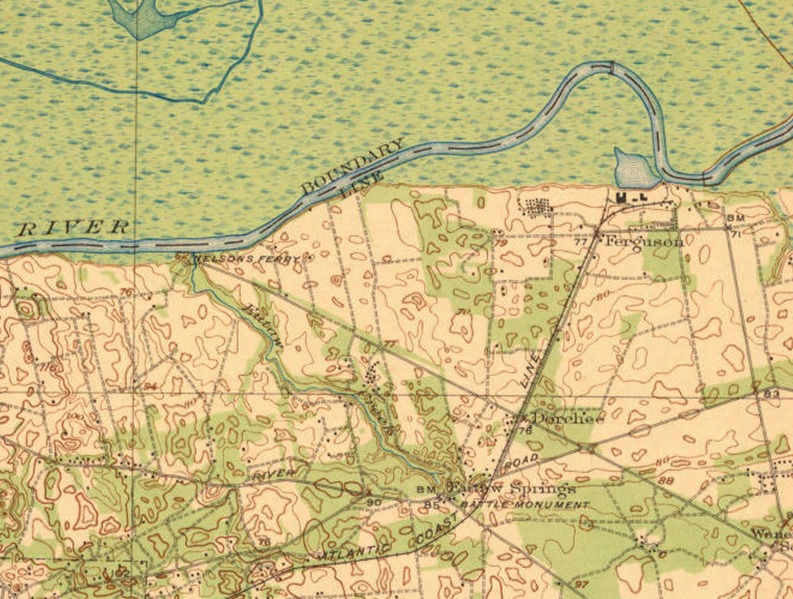
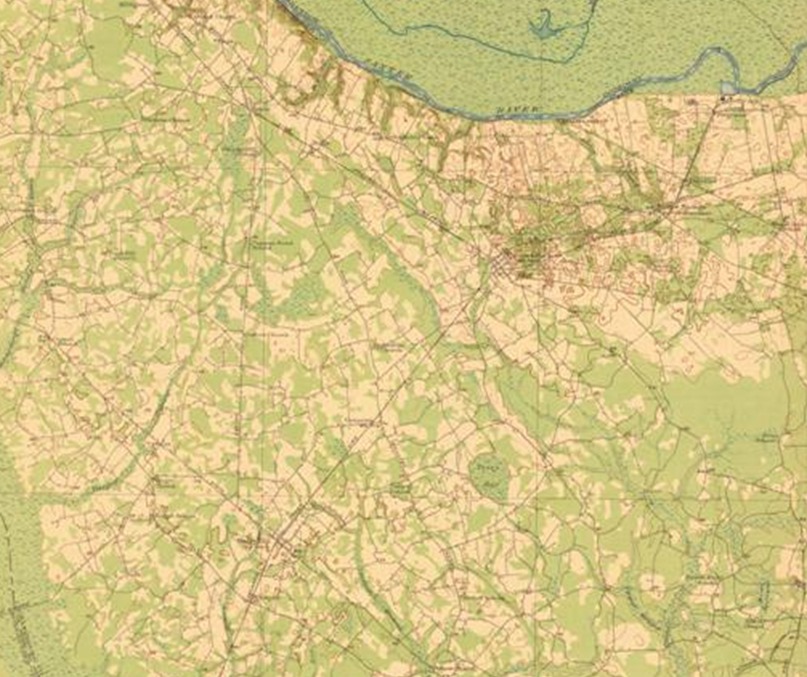
Topographic maps of pre-Lake Marion Inundation
Georeferenced topographic map in latitude and longitude coordinates along with a zoomed section near Eutaw Springs showing Nelson's Ferry, Congaree River-Monck's Corner road.